Command-line tool that builds planet-scale vector tilesets from OpenStreetMap fast on one machine
- Stars2.1k
- Forks184
- Open Issues111
Apache-2.0
- Java
- Shell
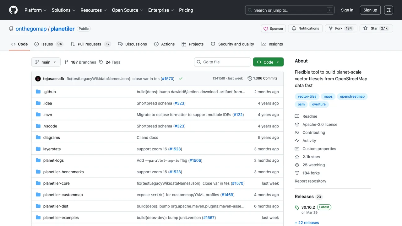
About Planetiler
Planetiler is a command-line tool that generates vector tiles from OpenStreetMap and other geographic data. It runs without an intermediate database, fast and memory-efficient enough to build a map of the world in a few hours on a single machine.
It reads OpenStreetMap PBF, Natural Earth, GeoPackage, GeoJSON, Shapefile, and GeoParquet sources and writes MBTiles or PMTiles archives in Mapbox Vector Tiles or MapLibre Tiles format. Custom base maps and overlays can be defined with a YAML config or a Java profile, and output can be served by tools like TileServer GL or Martin or queried straight from the browser.
It runs with Java 21+ or Docker and can also be used as a Maven or Gradle library. Created by Michael Barry for On The Go Map, it is licensed under Apache 2.0.
Key features
- Reads OSM PBF, Natural Earth, GeoPackage, GeoJSON, Shapefile, and GeoParquet
- Writes MBTiles or PMTiles output archives
- Generates Mapbox Vector Tiles or MapLibre Tiles
- Custom maps and overlays with YAML or Java profiles
- Downloads region extracts from Geofabrik automatically
Details
- First released
- 2021
- Latest release
- v0.10.2 · Mar 2026
- Deployment
- self-hostable · docker
- Input formats
- OSM PBF · GeoJSON · GeoParquet
- Output formats
- MBTiles · PMTiles
- Runtime
- Java 21+ · Docker