
Open vector tile schema and toolset that generates basemaps from OpenStreetMap data
- Stars3.1k
- Forks667
- Open Issues231
Other
- PLpgSQL
- Makefile
- Shell
About OpenMapTiles
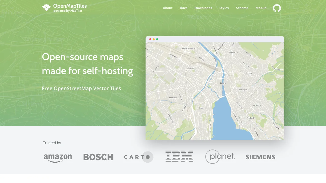
OpenMapTiles is an extensible open tile schema based on OpenStreetMap, used to generate vector tiles for online zoomable maps and topographic basemaps. It outputs a self-contained tileset that GL map styles can render.
The schema is a collection of documented, self-contained layers you can modify, adapt, or extend, covering aeroway, boundary, building, housenumber, landcover, landuse, mountain_peak, park, place, poi, transportation, water, and waterway. Tile generation runs through a Docker-based build that imports OSM extracts into PostgreSQL and produces MBTiles output.
The code is BSD-licensed, with cartographic decisions in the schema and SQL under CC-BY. Products using maps derived from the schema must visibly credit OpenMapTiles.org or reference OpenMapTiles with a link back to the project.
Key features
- Generates vector tiles from OpenStreetMap data
- Documented, self-contained layers you can modify and extend
- Topographic layers for water, parks, transportation, and more
- Renders with GL styles built for the schema
- Docker build imports OSM into PostgreSQL and outputs MBTiles
Details
- First released
- 2016
- Latest release
- v3.16 · Dec 2025
- Platforms
- Docker · CLI
- Storage
- MBTiles output
- License
- BSD · CC-BY for schema and SQL
- Origins
- OpenStreetMap data